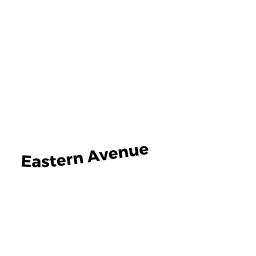
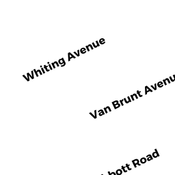
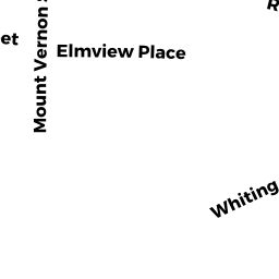
54 BARROWS ST
Owner Information
TUCKER DARREN ETAL
54 BARROWS ST
DEDHAM, MA 02026


Property Details
54 BARROWS ST is classified as a Single Family Residential (Conventional).
The primary structure on this property was built in 1922. There are 2,878ft2 of built area within this property. There is 1,509ft2 of residential/living space within this property. This property is listed as having 6 rooms.
54 BARROWS ST is valued at $416,800. The land is valued at $225,400 and the structures are valued at $191,400.
This property is in Zone B. Confirm with local Zoning Board authorities to ensure there are no overlays or other easements on this property.
The most recent deed for 54 BARROWS ST is recorded at the local registrar in Book 27228, Page 54. 54 BARROWS ST was last sold on Wednesday, November 18, 2009 for $299,000.
Assessment data from fiscal year 2020.
Flood Data
According to the FEMA National Flood Hazard Layer, this property does not appear to be in a flood zone. It may also be in an area not yet reviewed. Nonetheless, confirm this information prior to taking any action.
To view the flood hazards around this property, create a FEMA "Firmette" Map of the area around 54 BARROWS ST.
Broadband Internet Providers
| Provider | Type | Bandwidth (mbps) | |
|---|---|---|---|
| RCN | Cable | 1000 | 20 |
| VSAT Systems, LLC. | Satellite | 2 | 1 |
| HughesNet | Satellite | 25 | 3 |
| RCN | Cable | 500 | 20 |
| Verizon New England Inc. | Fiber | 940 | 880 |
| Viasat Inc | Satellite | 100 | 3 |
| Comcast | Cable | 1000 | 35 |
| Verizon New England Inc. | DSL | 10 | 1 |
| GCI Communication Corp. | Satellite | 0 | 0 |
Broadband service provider data from December 2020.
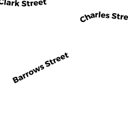
Adjacent Properties
- 58 BARROWS ST 1
Condo NL MDL-05 owned by WARNER BENJAMIN E ETUX - 58 BARROWS ST 2
Condo NL MDL-05 owned by MCAVOY CATHERINE E - 58-58 BARROWS ST
Other, Open Space owned by None - 11 CONTENTMENT PL
Single Family Residential owned by LAYNE MATTHEW D ETUX - 50 BARROWS ST
Single Family Residential owned by 50 BARROWS STREET TRUST